Oct 2, 2023 | 3D Laser Scanning, Administrator, aerial survey, Bookkeeper, Boundary Survey, Constructionline, Drone, Engineering Survey, GNSS/GPS Survey, Land survey, Landform Monitoring, Measured Building Survey, Setting Out, Structural Monitoring, Surveying Course, Topographical Survey, UAS, UAV, Volumetric Survey
There has been a lot going on this past year here at J C White, with plenty of work coming in, new equipment to master, and three new members of staff, all of which has kept us busy in the office and on site, and away from updating the website! In October 2022 we...
Jun 30, 2022 | 3D Laser Scanning, aerial survey, Boundary Survey, Drone, Engineering Survey, Folkestone, Land survey, Landform Monitoring, Measured Building Survey, Setting Out, Structural Monitoring, Topographical Survey, UAV
The topographical survey team have been working on projects for a whole range of clients including the National Trust, Eurotunnel, Otterpool Park and Port Lympne Safari Park. We have been receiving an unprecedented number of boundary survey enquiries and have also...
Nov 9, 2021 | aerial survey, Drone, Folkestone, Surveyors in Kent, UAV
As we near the end of this extraordinary year, Leigh Champion, who joined us in February, has settled in as an integral member of our survey team and is a valued asset to the business. In September we welcomed another new starter when Oliver England joined us as...
Apr 27, 2021 | 3D Laser Scanning, Boundary Survey, Engineering Survey, Folkestone, Land survey, Measured Building Survey, Setting Out, Structural Monitoring, Surveyors in Kent, Topographical Survey, UAV
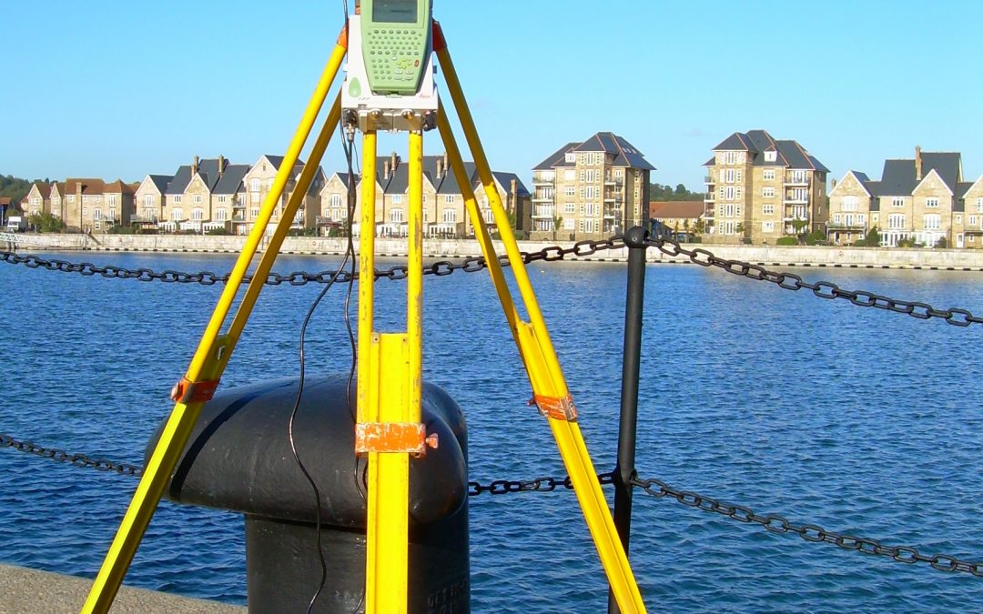
Despite Covid-19 restrictions, J C White has been busier than ever during the first four months of 2021. We have been out and about conducting topographical, scanning and boundary surveys for a broad spectrum of private and commercial clients. Likewise our setting out...
Feb 13, 2020 | 3D Laser Scanning, aerial survey, Drone, Engineering Survey, Folkestone, PfCO, Surveyors in Kent, Topographical Survey, UAV
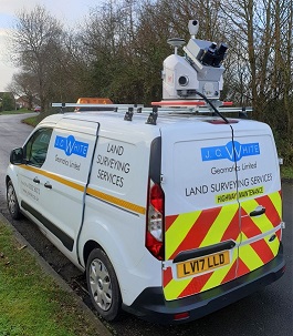
Two of our surveyors have recently undertaken a 4-day mobile scanning course enabling them to capture, process and utilise data from laser scanning technology on the move. This expertise enabled us to use a combination of vehicle-mounted mobile scanning & UAV...
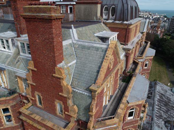
Jul 19, 2019 | 3D Laser Scanning, aerial survey, Drone, Engineering Survey, Folkestone, Land survey, Landform Monitoring, PfCO, Surveyors in Kent, Topographical Survey, UAV
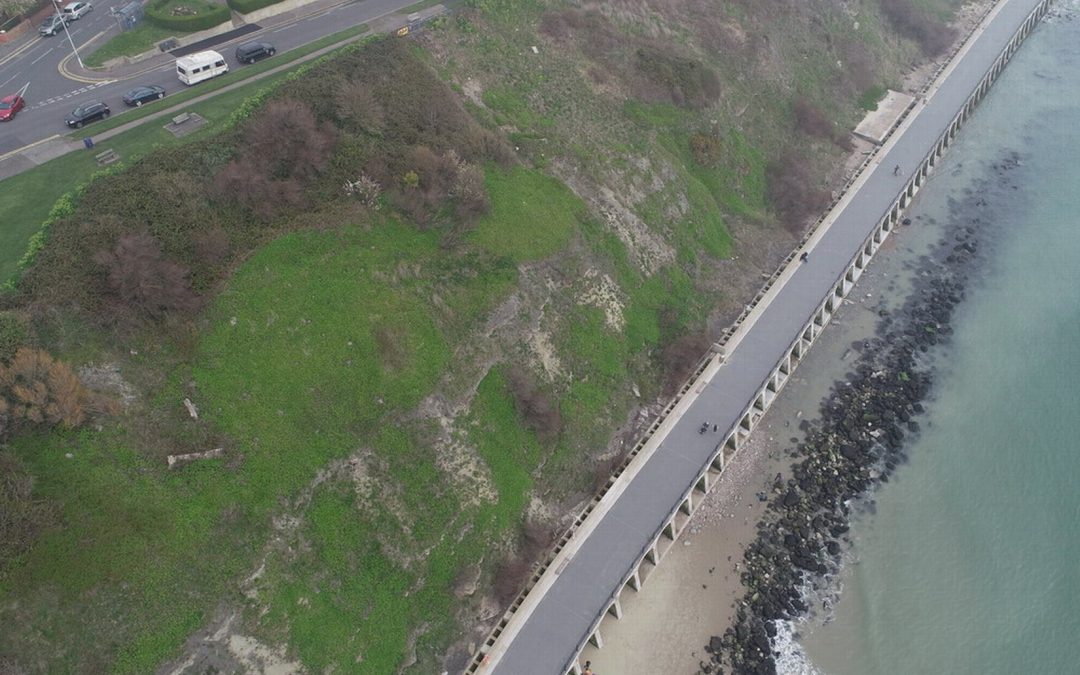
Our PfCO qualified UAV pilot has been capturing data with our drone for an ever-growing range of projects. Most recently Deep Ocean engaged our drone services to conduct a detailed topographical survey of Pegwell Bay beach two years after the burial of the Nemo cable,...