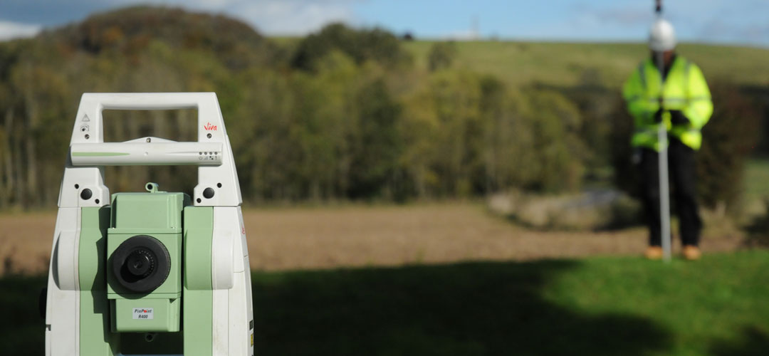
Topographical Survey
We are highly experienced at topographical survey / land survey. We work quickly and efficiently using the latest equipment and techniques. Our highly trained and experienced surveyors can offer advice and solutions for your topographical survey needs. Mapping can be carried out to a wide variety of scales to suit your requirements.
Typical uses for topographical survey:
- Land acquired for development
- As built surveys for highways and drainage adoption
- Coastal erosion management
- Detailed 3D design for road improvements
- Flood risk assessment
- Boundary demarcation
- Railways
- Slope stability analysis
- Sight line verification
- Volumetric analysis
- Asset management
- Verification of existing surveys
JC White Geomatics topographical survey
Our mapping is to the RICS specification (surveys of land, buildings and utility services at scales of 1:500 or larger). We can work to your specification or we can supply the specification, once your specific site requirements have been discussed and analysed.
The topographical survey (land survey) specification can be complemented with generic or site-specific risk assessments and method statements.
Land Survey
Engineering Survey
GNSS/GPS Survey
Boundary Demarcation
Aerial Mapping Digital Terrain Models
Measured Building Survey
Landform Monitoring
Volumetric Survey
Railway Survey
Land acquired for development
Asset management
Verification of existing surveys
As built surveys for highways and drainage adoption
Coastal erosion management
Detailed 3D design for road improvements
Slope stability analysis
Flood risk assessment
Sight line verification
Volumetric analysis
Boundary demarcation
Railways