GNSS/GPS Survey
A JC White Geomatics GNSS/GPS Survey is a valuable tool for flood plain mapping and flood risk assessment studies.
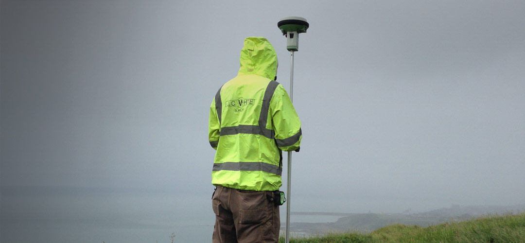
We mainly use GNSS/GPS to survey large open areas of land quickly and efficiently to an acceptable accuracy for normal mapping operations and to provide survey control for mapping by total station.
GNSS/GPS is also used to locate a survey in both plan and level on the Ordnance Survey National Grid and level datum, thus allowing the designer, engineer or architect to place the survey within the context of the surrounding area.
GNSS/GPS survey has many other roles including:
- Setting Out of Earthworks
- Flood Risk Assessment
- Flood Plain Mapping
If your site is within a flood risk area, we provide levels based on Ordnance Survey datum derived from GNSS/GPS satellite measurement to satisfy the Environment Agency and local authority requirements. This is essential as the Ordnance Survey no longer completely maintains or updates its historical benchmark system so values from mapping cannot be guaranteed to be current due to settlement and other factors. We also supply digital terrain models (DTMs) and cross sections of flood defences to support your flood risk assessment.
- Establishing survey control
- Checking and verifying survey control and detail
The biggest recent advance in GNSS/GPS has been the implementation of real time positioning using a network of reference stations maintained by the Ordnance Survey. Using a mobile phone SIM card in conjunction with GNSS/GPS, a surveyor can plot his or her instantaneous position on the Ordnance Survey National Grid and level datum in real time to within a few centimetres anywhere in the country.
JC White Geomatics uses Leica GNSS/GPS kits enabled with the Leica SMARTNET system so work can be done directly on the Ordnance Survey grid. For the highest accuracy or where mobile phone signal is unavailable, a base and rover system can de used to determine position and level.
Survey control for mapping by total station
Locate a survey in plan and level on Ordnance Survey National Grid and level datum
Setting Out of earthworks
Flood risk assessment
Flood Plain Mapping