
Jul 14, 2025 | Engineering Survey
About Us J C White Geomatics Ltd are land surveyors based in Kent, with an unrivalled reputation. Although you may think of us as a small local company, you’ll find us surveying throughout the UK and even across the channel in France. We use our exhaustive quality...

Jun 17, 2025 | Engineering Survey
Do you like the idea of working outside in all weathers, in different places, using cutting edge technology? We’re seeking a Trainee Land Surveyor to join our busy team. This role varies between office and site based. Some days you will be working in the field in a...
Oct 2, 2023 | 3D Laser Scanning, Administrator, aerial survey, Bookkeeper, Boundary Survey, Constructionline, Drone, Engineering Survey, GNSS/GPS Survey, Land survey, Landform Monitoring, Measured Building Survey, Setting Out, Structural Monitoring, Surveying Course, Topographical Survey, UAS, UAV, Volumetric Survey
There has been a lot going on this past year here at J C White, with plenty of work coming in, new equipment to master, and three new members of staff, all of which has kept us busy in the office and on site, and away from updating the website! In October 2022 we...
Jun 30, 2022 | 3D Laser Scanning, aerial survey, Boundary Survey, Drone, Engineering Survey, Folkestone, Land survey, Landform Monitoring, Measured Building Survey, Setting Out, Structural Monitoring, Topographical Survey, UAV
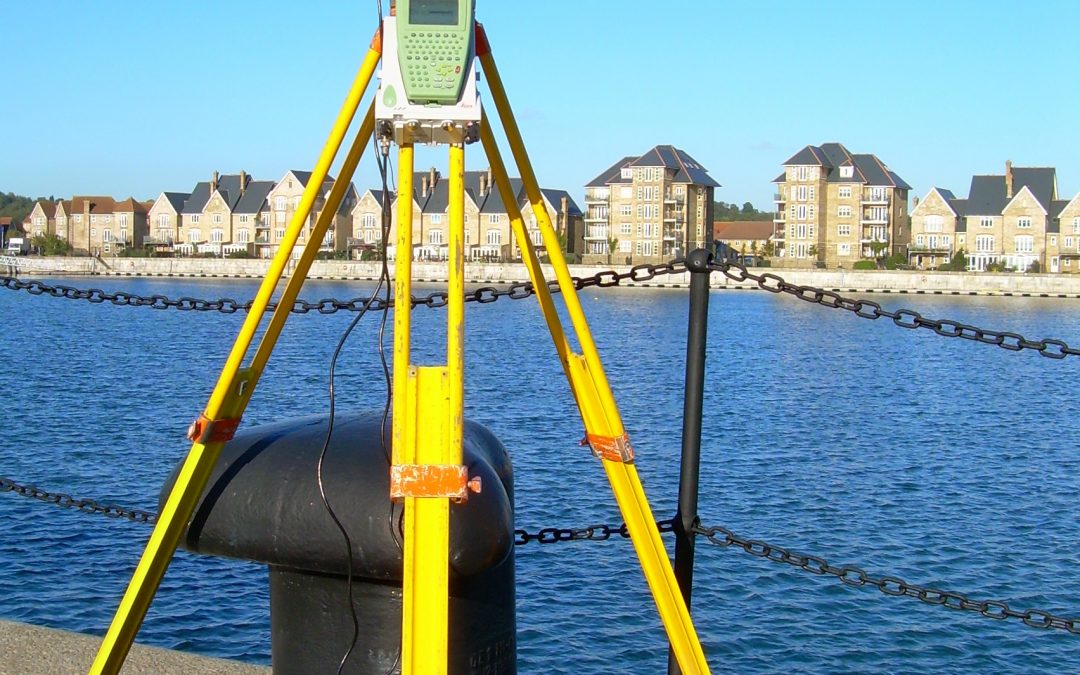
The topographical survey team have been working on projects for a whole range of clients including the National Trust, Eurotunnel, Otterpool Park and Port Lympne Safari Park. We have been receiving an unprecedented number of boundary survey enquiries and have also...
Apr 27, 2021 | 3D Laser Scanning, Boundary Survey, Engineering Survey, Folkestone, Land survey, Measured Building Survey, Setting Out, Structural Monitoring, Surveyors in Kent, Topographical Survey, UAV
Despite Covid-19 restrictions, J C White has been busier than ever during the first four months of 2021. We have been out and about conducting topographical, scanning and boundary surveys for a broad spectrum of private and commercial clients. Likewise our setting out...
Feb 13, 2020 | 3D Laser Scanning, aerial survey, Drone, Engineering Survey, Folkestone, PfCO, Surveyors in Kent, Topographical Survey, UAV
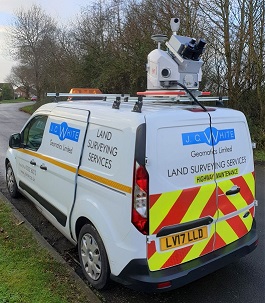
Two of our surveyors have recently undertaken a 4-day mobile scanning course enabling them to capture, process and utilise data from laser scanning technology on the move. This expertise enabled us to use a combination of vehicle-mounted mobile scanning & UAV...