Feb 13, 2020 | 3D Laser Scanning, aerial survey, Drone, Engineering Survey, Folkestone, PfCO, Surveyors in Kent, Topographical Survey, UAV
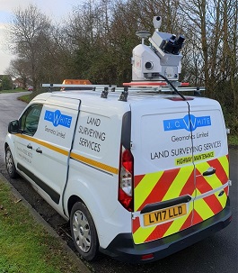
Two of our surveyors have recently undertaken a 4-day mobile scanning course enabling them to capture, process and utilise data from laser scanning technology on the move. This expertise enabled us to use a combination of vehicle-mounted mobile scanning & UAV...
Jan 15, 2019 | 3D Laser Scanning, Boundary Survey, Constructionline, Folkestone, Land survey, Landform Monitoring, Setting Out, Structural Monitoring, Surveyors in Kent, Topographical Survey
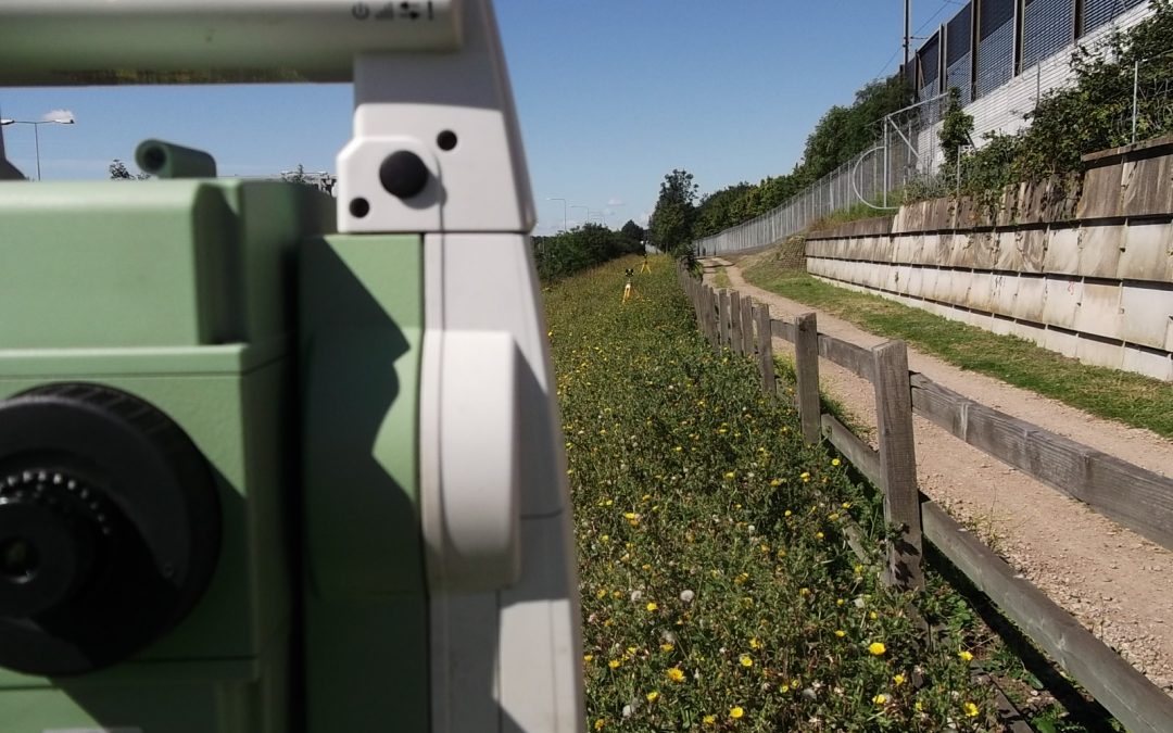
Eurotunnel site J C White Geomatics has hit the ground running in January 2019. In the first two weeks of the new year we have had nearly forty enquiries ranging from topographical through boundary and setting out jobs to 3D scanning. Nearly a quarter of these have...
Nov 19, 2018 | Constructionline, Folkestone, Land survey, Surveyors in Kent, Topographical Survey
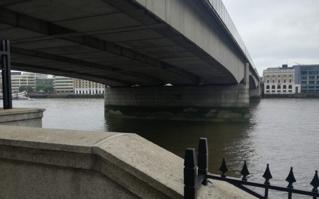
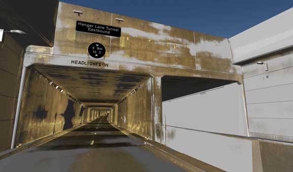
Here at J C White Geomatics we’ve recently been involved in a number of innovative scanning projects. We have completed an internal and external survey of London Bridge’s north abutment for the City of London Corporation. Our confined space team captured and...
Sep 17, 2018 | Constructionline, Folkestone, Land survey, Surveyors in Kent, Topographical Survey
JC White Geomatics is now accredited at Gold level by Constructionline, the UK’s largest register of contractors and consultants for the construction industry. So rest assured that we have demonstrated our commitment at the highest level to our corporate...
Jul 30, 2018 | Folkestone, Land survey, Landform Monitoring, Structural Monitoring, Surveyors in Kent
We are currently working on several monitoring jobs in London and across Kent. In central London we are monitoring a 2000 year old Roman wall in the basement of a construction site with demolition and building work going on above and around it. Also in...


