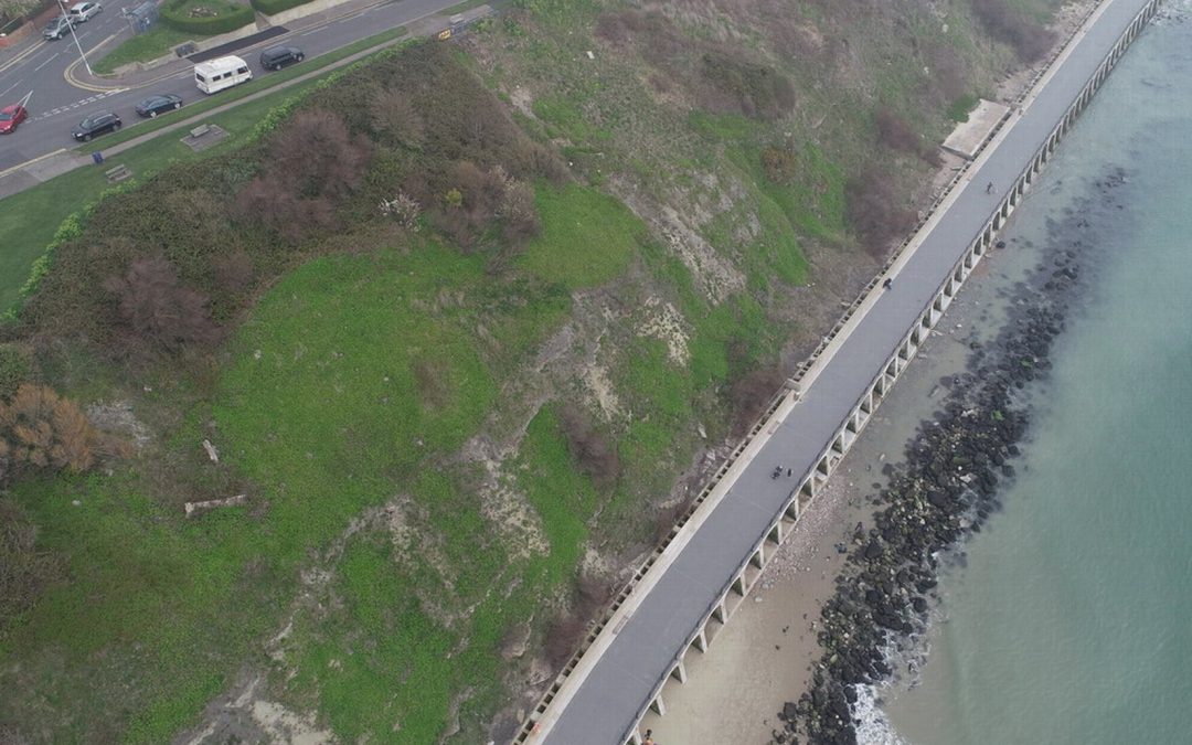
Jul 19, 2019 | 3D Laser Scanning, aerial survey, Drone, Engineering Survey, Folkestone, Land survey, Landform Monitoring, PfCO, Surveyors in Kent, Topographical Survey, UAV
Our PfCO qualified UAV pilot has been capturing data with our drone for an ever-growing range of projects. Most recently Deep Ocean engaged our drone services to conduct a detailed topographical survey of Pegwell Bay beach two years after the burial of the Nemo cable,...
Apr 5, 2019 | Engineering Survey
J C White Geomatics Ltd is under new ownership With effect from 1st April 2019, J C White Geomatics Ltd is under new ownership by way of a Management Buy Out. The business was established by John White in 1981 and over the past 37 years he has successfully managed and...