JC White team grows to meet boundary survey demand
In 2017 JC White Geomatics had nearly 200 enquiries from clients requiring boundary surveyors in Kent. These ranged from property sub-division through lease plans and rights of way to boundary disputes. To meet the demand we are building on the foundations of our already well-established expertise and expanding our boundary survey team with immediate effect.
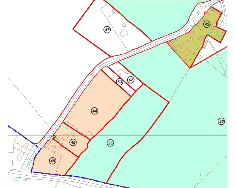
We have direct access to the Land Registry database and all our drawings are compliant with their guidelines. The use of state of the art Leica surveying equipment ensures that the area of interest is mapped to the utmost standard of accuracy. As all our surveys are related to the Ordnance Survey National Grid, they can be compared directly to Land Registry Title Plans.
Furthermore, in the case of boundary disputes, we can source aerial photography from the past 65 years and Ordnance Survey mapping dating back to the 1800s if called upon to produce a Civil Procedure Rules Part 35 compliant report.
We expect this area of our business to continue to grow and are geared up to meet the demand.
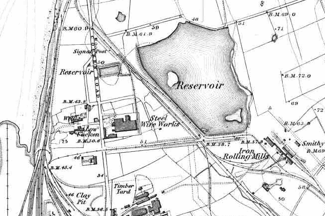
JC White Geomatics Ltd – Example of historic Ordnance Survey mapping circa 1890 which can be used to aid boundary demarcation