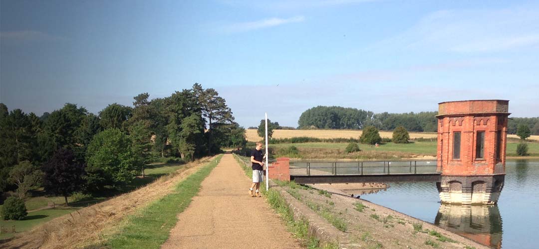
Landform Monitoring
Landform monitoring for movement or deformation brings specific challenges and solutions. JC White Geomatics have decades of experience monitoring landforms such as embankments, landfill, cliff faces and beaches.
Landform monitoring applications:
- Buildings and structures
- Retaining walls and bridges
- Embankments and cuttings
- Sea defences
- Subsidence of any of the above
- Beach erosion
This can be done by traditional land surveying using GNSS/GPS, high precision Leica Total Stations and levels or by 3D Laser Scanning technology.
Reliability, repeatability and consistency are key to monitoring. We ensure that any variables that could weaken the data’s integrity are removed. This may mean providing suitable survey stations or pillars on stable ground outside the zone of influence and using specific equipment to obtain the required accuracies. Monitoring systems must operate reliably over the given period so that observations are consistently accurate. Specialist software such as Starnet may be used to compile results of complex networks.
In some applications Realtime Monitoring Systems can be installed using permanent Total Stations linked to computers. These systems can run 24/7 with minimal manual input. Manual or automated crack monitoring can also be installed in appropriate situations.
Retaining walls and bridges
Embankments and cuttings
Sea defences
Subsidence of any of the above
Beach erosion